Waterfowl are having to change their habitats,food sources, and migration cycles all because of climate change. The map below explains the problems in the four different flyways the ducks take:
1. Pacific Flyway: In this area they have a large amount of coastal marshes and estuaries along the Pacific Ocean coastline. Climate change can affect the sea level by rising it. On the land the changes could be dramatic also. The average mountain snowpack is having a significant decline and changing its patterns.
2. Central Flyway: One of the most important waterfowl breeding areas are the Prairie Pothole Region in North America on both sides of the U.S./Canadian border in the northern Great Plains. In this area there are many ponds and lakes that provide breeding habitats and as the temperature rises the ponds and lakes become dry or wet for shorter periods making it less suitable to breed.
3. Mississippi Flyway: Shoreline wetlands of the Great Lakes provide critical habitats of breeding and migrating for Waterfowl and especially diving and sea ducks. By 2030 about 19-39 percent contribute to the decline of ducks. By 2100 about a possible of 3-34 inches of sea level will rise eliminating up to 45 percent of coastal wetlands.
4. Atlantic Flyway: Climate changer is expected to take effect of timing and distance of Waterfowls' migration. The affects of climate change is to mess with the shoreline wetlands of the St. Lawrence in the United States and Canada, which provides critical habitats for breeding and migrating Waterfowl.
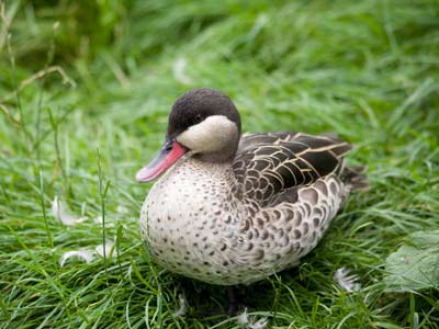
Some ducks affected most by climate changes are:
*Canvasback Duck
*Blue-winged Teal
*Mallard
*Northern Pintail
http://www.birdnature.com/flyways.html